
The original plan was to go bag some Munros in Scotland. When that plan fell through I was looking for alternatives closer to home. It’s been a while since I camped out in the Mournes, so a couple of days hiking there sounded good. But which part? Not the same challenge as hiking up a Scottish Munro since I’d been over most of them before, but then the seed was sown … Kathleen’s recent completion of the Rankin Round … spend two days recceing the full route with a possible overnight camp. The decision was made. Planning was kept fairly low-key to say the least:
- Copying Kathleen’s route (I know she would have spent a lot of time working out optimum routes)
- Printing off Alan Elwood’s detailed route card with timings (I know he would have been thorough and precise with it)
- Pack two drop bags of extra food and drink to stash at Deers Meadow and Spelga Dam
- Send an email off to the committee just to let them know I was going for a full course recce
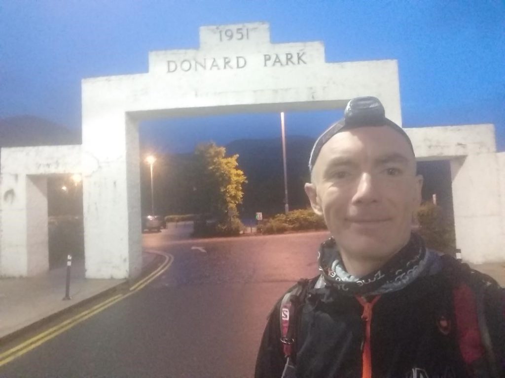
The advantage of going for an unsupported solo round is not having to co-ordinate with anyone else. This meant a lot more flexibility with timings. My 02:00am start became 04:20am due to laziness getting out of bed. I convinced myself that it was to avoid the worst of the forecast weather earlier in the night. It did mean that it was already getting light when I started, and the head torch was only required to go up through the forest.
I took it all very easy going up Donard. The plan was to take two days to complete the round after all. Walk all the up hills and jog the flat/down hills.
The first challenge was Chimney Rock and Rocky. This isn’t a route that I’m so familiar with, at least not from the Donard side. The plan was to use Kathleen’s route to guide me. It might have been light at this stage, but it was also foggy! About 50m visibility .. .not what I needed so early on. But it was all fairly straight forward. Along the wall from the Brandy Pad, compass bearing up the faint track, past the tors and over to the flattish summit. I have to admit that I did go a bit past the summit just to make sure I had gone far enough, and confirm the slope did descend steeply on the other side! Early stage jitters I guess. Same story over to Rocky using the wall and compass for reassurance. The hardest part of this leg for me was actually getting over the wall!
It was only when I get to the cairn at Rocky that I realised I was slightly ahead of Alan’s 22h 40m schedule. I hadn’t been pushing too hard and was now wondering if the sub-24-hour was possible? A long way still to go though …
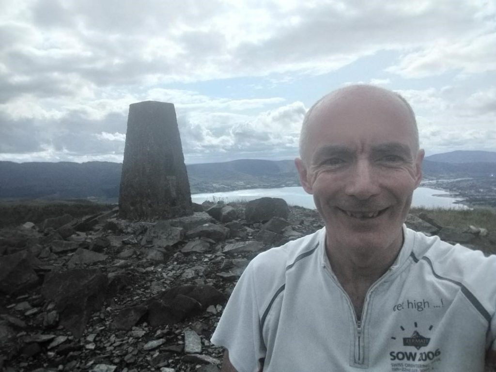
08:00am – North Tor looking back to Ben Crom Reservoir
I really enjoyed the peace and quiet over the next section. I had the whole mountain to myself and the weather was near perfect. I’d been over these summits so many time previously by way of the Seven Sevens, Analong Horseshoe and personal hikes. Although this time I had to make sure to visit the actual summits rather than simply go around them. I didn’t actually see a single soul until after Binnian.
It was actually on the decent from Binnian that I had my first ‘navigational lapse’. I’ve never negotiated my way off the top of Binnian towards Wee Binnian before … and there are a number of tors and crags to negotiate around. I inadvertently went left of one such crag and had to retrace my steps when it became a bit ‘steep and unsafe’ to proceed. It was at this precise moment that an older lady appears out of the mist and shows me the correct way down to the wall. As I headed off into the mist again with a slightly embarrassed feeling (I thought I was a decent enough navigator), she did seem to have a slightly concerned look on her face for the ‘strange runner’ she had just met.
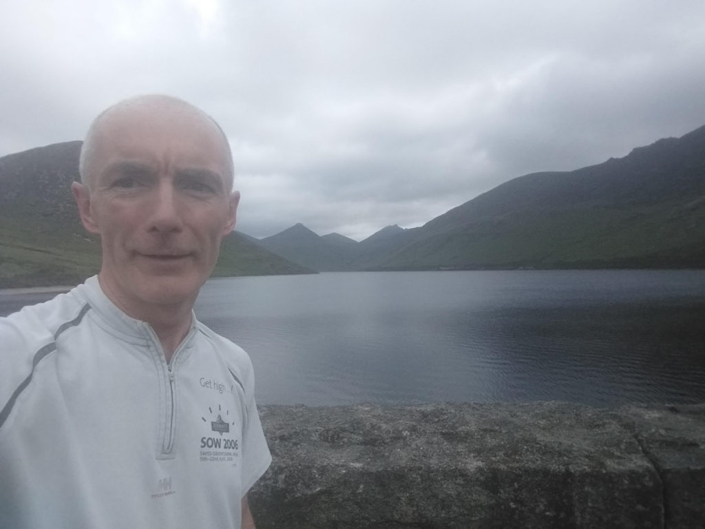
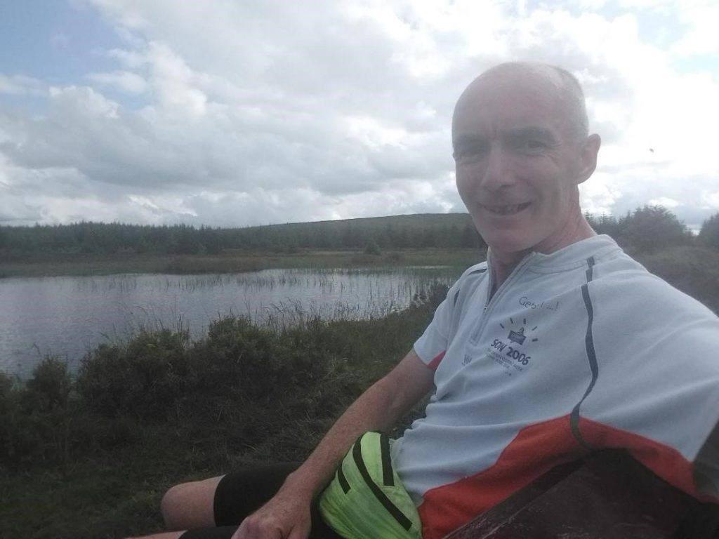
09:30am – Silent Valley Reservoir
It was fairly uneventful for the next few hours. Although it was around Silent Valley that I met most people out for their morning walks including a group of Germans hiking down Wee Binnian. Silent Valley Dam was also my first scheduled stop to fill up with water, refuel and dispose of my empty wrappers in a bin. The bench was also a welcome rest for weary legs.
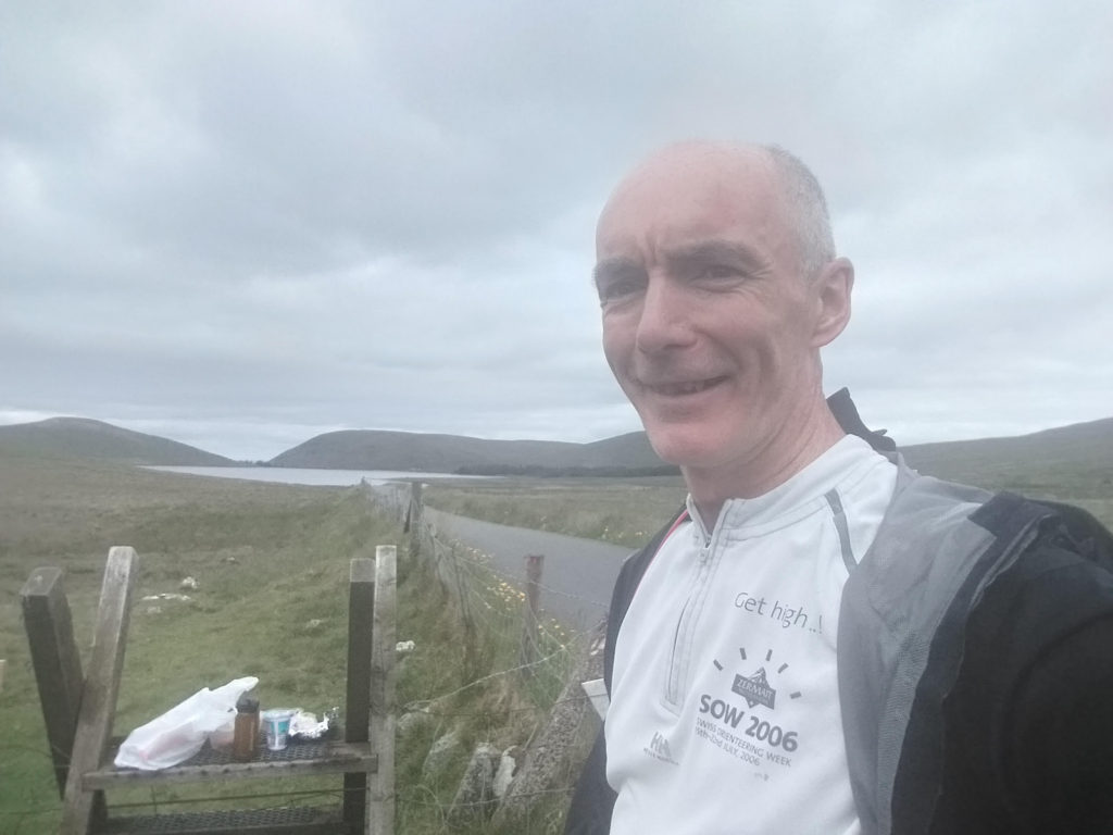
12:50pm – Pit stop at Deers Meadow
My first proper pit stop was at Deers Meadow. The change of socks and compeed was very welcome. Unfortunately the Danish pastry which I had been looking forward to for the previous two hours managed to fall sticky side down onto the tarmac. I was so looking forward to it! After picking the stones out of it, I only managed to eat half of it … so annoying!
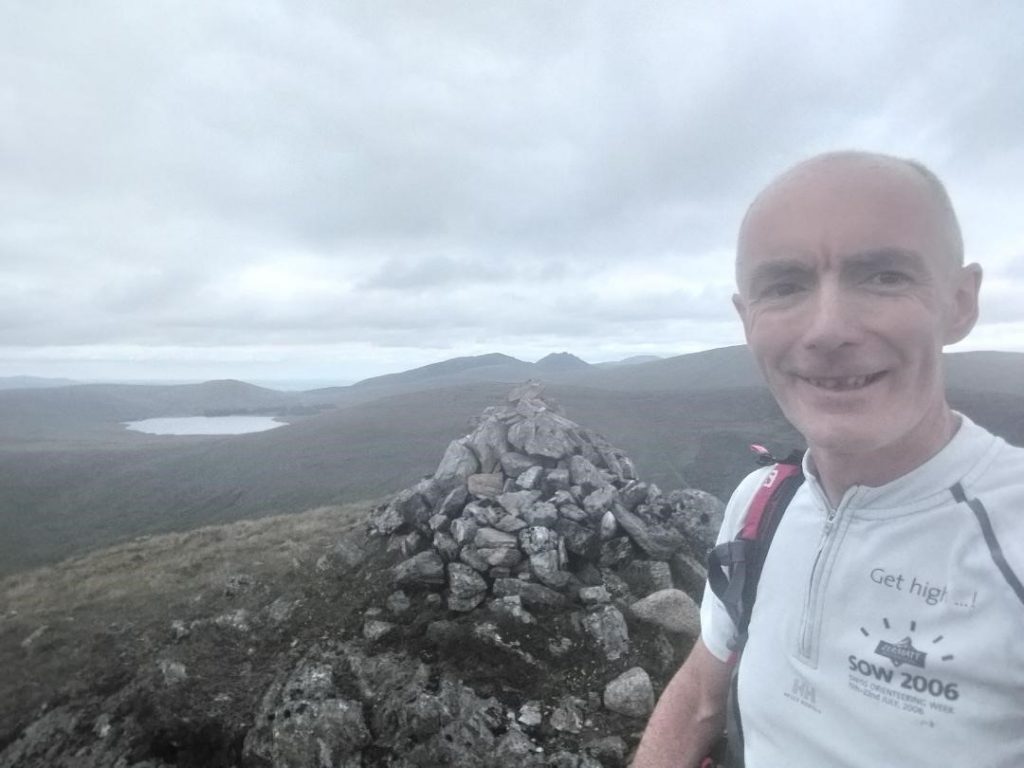
13:40pm – Slievemoughanmore looking back at Spelga
It felt good to get doing again. Yet more familiar trails from Hill & Dale Series. This time a bit more poignant going up Slievemoughanmore considering the challenge I was on. A few thoughts of Denis on the climb and a photo at the cairn before setting off again. Kathleen’s strava plot once again guided me through the forest tracks on approach to Slievemeen, avoiding some horrible ground on the direct route.
16:30pm – Slieve Martin Summit
Tiredness and exhaustion hit a bit over Crenville and Slievemeel. The underfoot conditions here haven’t improved much since my first visit to them in a Mourne Mountain Marathon a few years ago. Slightly less cursing to myself this time … but still not much fun! There is definitely something askew with the mapped mountain bike track north of Crenville. Either that, or I was getting VERY tired. The mountain bike track never seemed to come as close to the forest road as the map suggests. I probably did an extra unnecessary 700-900m looking for that trail!
17:45pm – A welcome rest at Kilbroney Red Bog
The tiredness over this previous summits was also the reason why I went for the easy option up Tievedockaragh. I just couldn’t face any more long tussocky heather and stuck to the longer path and wall option.
Refueled at Spelga and promptly off again. Tiredness was starting to play a bigger part in my route choices. Once again I took the longer way round from Spatha to Slievenamuck. In hindsight I should have went straight, especially since it was still light, but my brain wouldn’t adapt and stuck adamantly to the original plan.
It was very welcome to have made it across to the Ott car park while still light. The remainder of the course was all fairly familiar and had the wall as a hand rail most of the way. I just had to pick off Ott and then darkness started failing as I was climbing Meelmore.
The climb up my least favourite mountain (Bernagh) wasn’t so bad in the dark. Although it did go on a long time! I wasn’t able to run the downhills now, so it was just a steady and relentless walk all the way back to the Commedagh Tower. I was very thankful of the wall to follow since the mist/cloud was closing in again.
I’ve been out to the Commedagh Cairn so many times that I didn’t anticipate any issues at this stage. However mist, darkness and tiredness were having their toll. Mild panic was creeping in as I swept the torch beam back and forward trying to find the cairn. The compass was absolutely needed and I was very relieved to touch the final cairn. I was now on the move for 19 hours and 55 minutes. 65 minutes to get back and be under the 21 hours! I opted for the safe option after my issues finding the cairn at Commedagh and returned via the Glen River. However, ‘fortune favours the brave’ and my cautious return route probably cost me the 31 seconds over the 21 hours despite a sprint finish across the car park surprising a few late night revellers.
Still … I had successfully completed the whole round in well under the 24 hours. More importantly I had thoroughly enjoyed my day out in the Mournes and surprised myself at what is achievable along the way. I bow my head in appreciation of Denis who has inspired so many of us to enjoy the great outdoors that are right here on our very own doorstep.
01:20am – Donard Car Park